You are Anonymous user. You can register for free by clicking here
Center for Satellite Monitoring
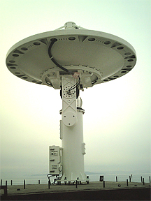
The Center for Regional Satellite Monitoring of Environment was created on the base of Satellite Monitoring Laboratory of IACP FEB RUS at 1999. The purpose of the Center is to receive, process, deliver and acquire of satellite data for research and economic applications. The Center and its data sets have been registered in Global Change Master Directory (NASA subdivision) and has status of the Regional Center of Russian Academy of Sciences. At the present time the Center carries out receiving and processing two types of high resolution satellite data: data of the polar-orbiting satellites (NOAA, FY-1D) for sea surface observation and the data of geo-stationary meteorological satellite (MTSAT-1R) for atmosphere monitoring. The Center has facilities to make data reception of geo-stationary satellite FY-2C. Joint processing of various satellite data allows get more complete information in time and space about sea surface and atmosphere phenomena.
According to the satellite of new generation AQUA (radiometer MODIS) trial work on ecological monitoring Peter the Great bay is lead 22.08.2006. Monitoring was spent on the basis of turbidity parameters of coastal waters and chlorophyll-a concentration which characterizes both phytoplankton concentration, and anthropogenous character of water pollution.
chlorophyll-a concentration turbidity parameters of coastal waters
Regional satellite monitoring of environment (RSM) is based on regular acquisition and real-time processing of digital multi-channel satellite information.
Main directions of the Satellite Centre operation:
- ocean and atmosphere phenomenon research;
- satellite information support of scientific researches and fishery;
- natural disaster monitoring (typhoons, forest fires, etc.).
There are three kinds of information we produce now:
- look-up data (catalogue of satellite sessions; observation images in any graphical format; detailed observation images of infrared data);
- basic production (calibrated single-channel Mercator projected images; momentary (single-session) sea surface temperature images; thermal sea surface structure charts (SSTS) statistical significant thermal contrast orientations);
- thematic information processed for concrete users (temperature charts of different scales and time averaging; sea surface velocity estimations; composed SSTS charts; products of sea surface synoptic analyses; forest fires charts, typhoon parameter estimations).
Data request of a user is realised with INTERNET facilities. E-mail, INTERNET, INTRANET and INMARSAT may be used for data delivery.
In situ data are used for verification of different charts created on the base of satellite information. Verification procedure is used for calibration of algorithms for satellite data processing.
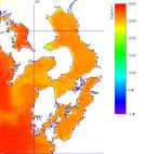
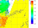
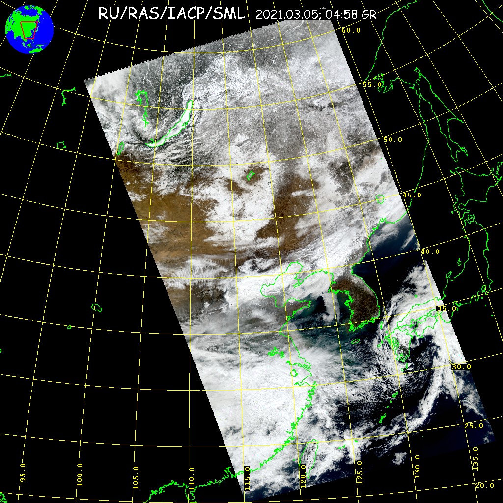
05.03.2021 of local time. Scene include Vladivostok town
refreshed 05.03.21 15:18
Data of AQUA
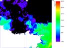
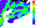
05.03.2021 of local time. Scene include Vladivostok town
refreshed 05.03.21 16:18
Data of NOAA satellite
28.11.2012 10:46
нет файла данных
refreshed 28.11.12 14:12
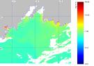
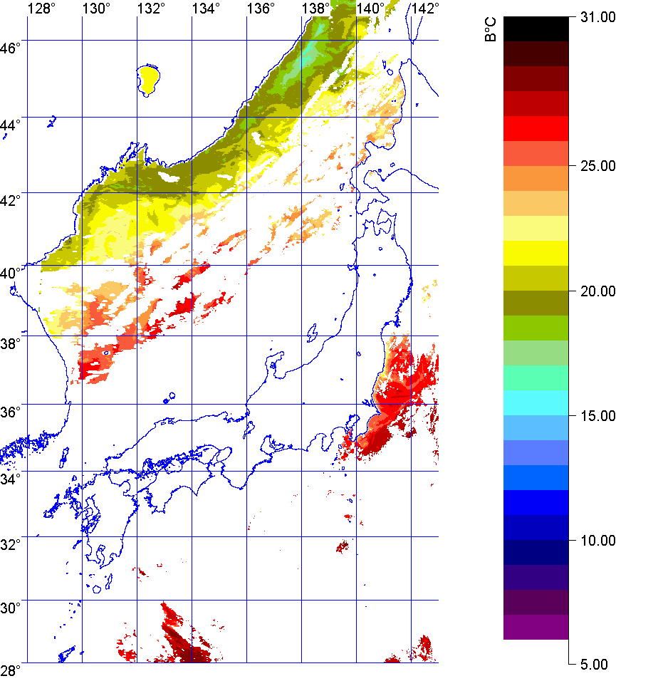
Japan Sea
01.09.2023
refreshed 19.09.23 09:05
North of Japan Sea
09.09.2012
нет файла данных
refreshed 27.11.12 13:25
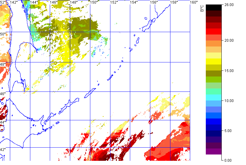
Kuriles
01.09.2023
refreshed 19.09.23 09:05
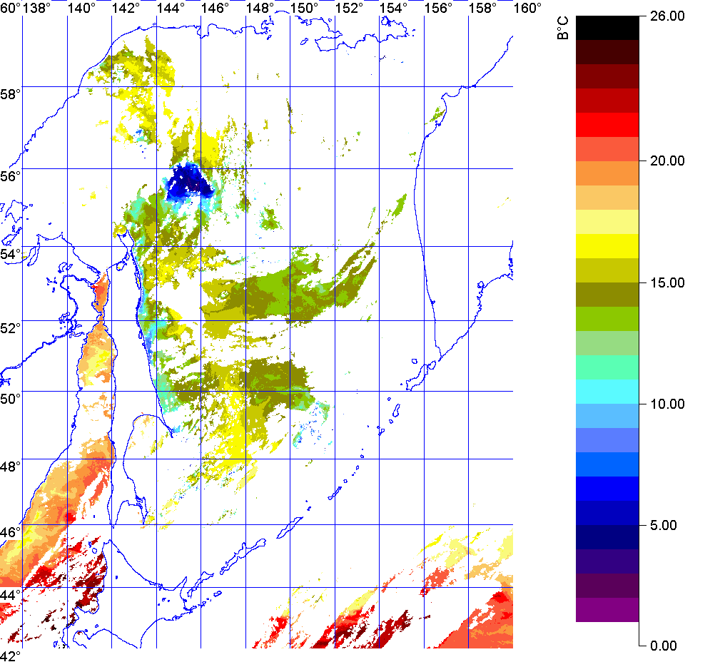
Sea of Okhotsk
01.09.2023
refreshed 19.09.23 09:05
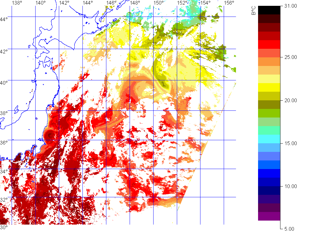
North-West of Pacific Ocean
01.09.2023
refreshed 19.09.23 09:05
При поддержке РФФИ, грант № 04-07-90350. Центр Спутникового Мониторинга ИАПУ ДВО РАН
Under support of RFBR, grant № 04-07-90350. Center of Satellite Monitoring IACP FEB RAS